The St. Louis County Sheriff’s Office has activated the Ready, Set, Go evacuation process for a small area in the northern part of the county due to wildfire conditions. Find the map and more information here: St Louis County MN Emergency Services Hub

An air quality warning has been issued. Learn more here: Air quality alert issued due to wildfire smoke for Tuesday, July 14, through Thursday, July 16, for northeast Minnesota | Minnesota Pollution Control Agency


Data - Geospatial


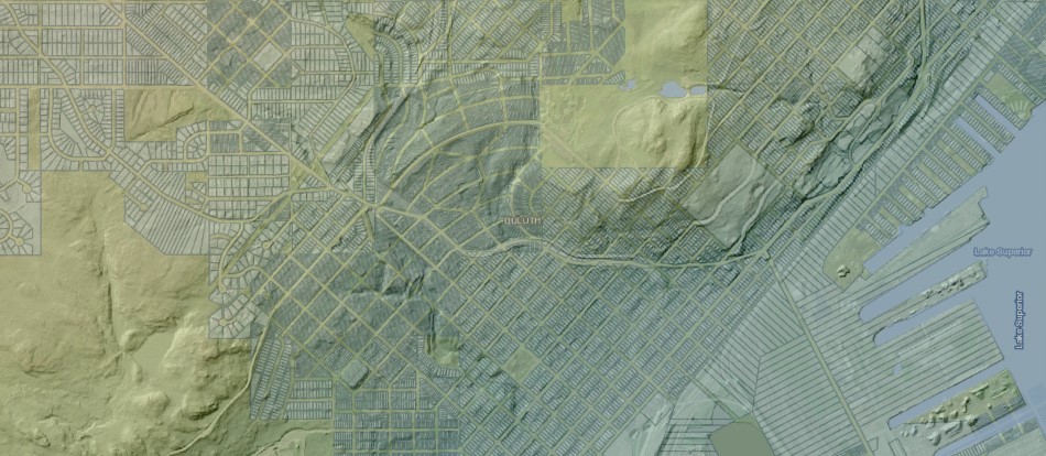
Hillshade map with subdivision overlay

St. Louis County provides free GIS parcel and geospatial data to support business mapping needs. The County utilizes and maintains geospatial data for critical business operations.

Download Geospatial Data
Download Aerial Imagery

State and Local Data

Disclaimer

Disclaimer
St. Louis County makes no representation or warranties, express or implied, with respect to the use or reuse of data provided herewith, regardless of its format or the means of its transmission. THE DATA IS PROVIDED "AS IS" WITH NO GUARANTEE OR REPRESENTATION ABOUT THE ACCURACY, CURRENCY, SUITABILITY, PERFORMANCE, MERCHANTABILITY, RELIABILITY OR FITNESS OF THIS DATA FOR ANY PARTICULAR PURPOSE. St. Louis County shall not be liable for any direct, indirect, special, incidental, compensatory or consequential damages or third party claims resulting from the use of these data, even if St. Louis County has been advised of the possibility of such potential loss or damage. This data may not be used in states that do not allow the exclusion or limitation of incidental or consequential damages.